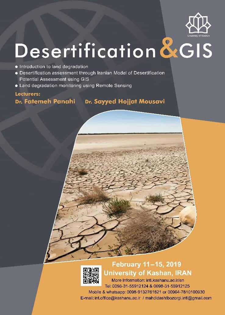
International Workshop on Desertification and GIS
The aim of this workshop is to provide both a solid theoretical understanding and a comprehensive practical introduction to the use of geographic information systems and remote sensing technologies for desertification assessment and monitoring.
Who is this for?
This workshop is designed for professionals (engineers, scientists, consultants and decision-makers) active in the land degradation/environmental sector, especially those involved in planning and management of environment as well as desertification. Pre-requisites are a basic knowledge of computing and natural resources related topics. Participants will be familiar with mapping, assessing and monitoring land degradation using ArcGIS and ENVI softwares.
Learning objectives
Upon completion, the participant should be able to:
- Develop understanding of land degradation indices and criteria, assessment, early warning systems, etc.
- Produce different desertification risk assessment maps in a GIS environment.
- Develop understanding of how to use the models to assess the intensity of desertification and how to produce a change detection map.
- Develop understanding of how to use satellite data to study vegetation, land use, … changes and how to produce these maps.
Workshop content
The workshop focuses on the analysis of digital spatial data, preparation for land (soil, vegetation and water) monitoring, presentation of various desertification assessment models, etc. The topics covered in the workshop include the following:
Subject 1: Introduction to land degradation
This part starts with the wider picture and considers the history of desertification, its philosophy, related concepts, its indices and criteria with a focus on desertification assessment models in the world. In addition to desertification, different methods of combating desertification specifically in arid lands and reclamation of arid lands will be also introduced. The potential of arid lands, the relationship between technology and deserts and also solar energy are also another issues of this part which will be of great interest.
Subject 2: Desertification assessment through Iranian Model of Desertification Potential Assessment using GIS
In this part of the workshop, the participants will be introduced into IMDPA through using ArcGIS software. Special attention will be given to the usage of GIS and soil (Electrcal Conductivity, Stoniness, Texture, Depth), vegetation (Canopy cover percentage), climate (Drought continuity, SPI, Precipitation percentage) and water (quantity and quality such as EC, SAR, …) are the main indices which will be discussed.
Subject 3: Land degradation monitoring using Remote Sensing
This part of the workshop will discuss both theoretical and practical aspects of land degradation and also the usage of RS in monitoring desertification. Particular attention will be given to soil, climate and vegetation using indices such as NDVI, SI, NPP, LST, … and also land use change detection is another issue which will be considered.